

Collaborative Engagement for a Better Future
The Department of Geography, Environment, and Spatial Sciences actively pursues interdisciplinary collaboration and community engagement opportunities across campus and across the globe.
CGCEO
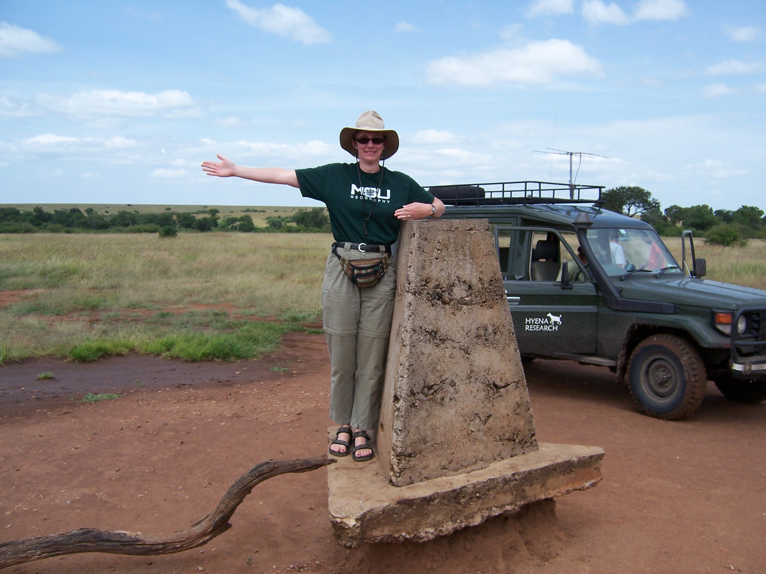
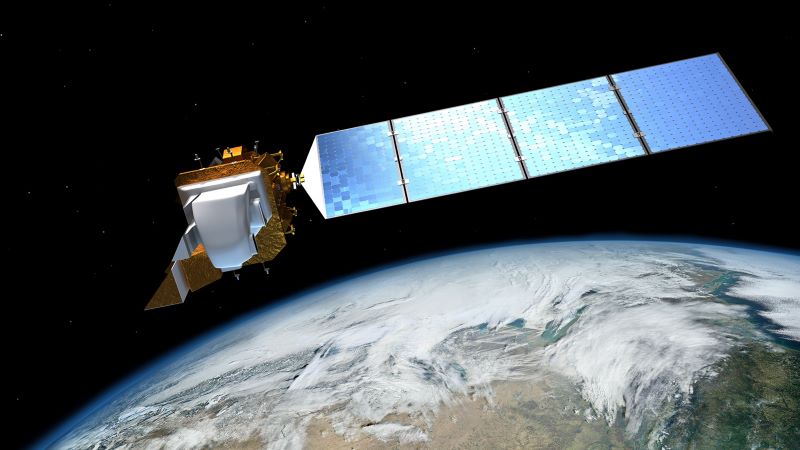
The Center for Global Change and Earth Observations is a group of MSU scientists from multiple fields who conduct collaborative research, at multiple scales, that relies on geospatial technologies, earth observation, data analytics, modeling, on-the-ground field research, coupled human and natural system interactions, and socioeconomic and policy analyses.
Enviroweather
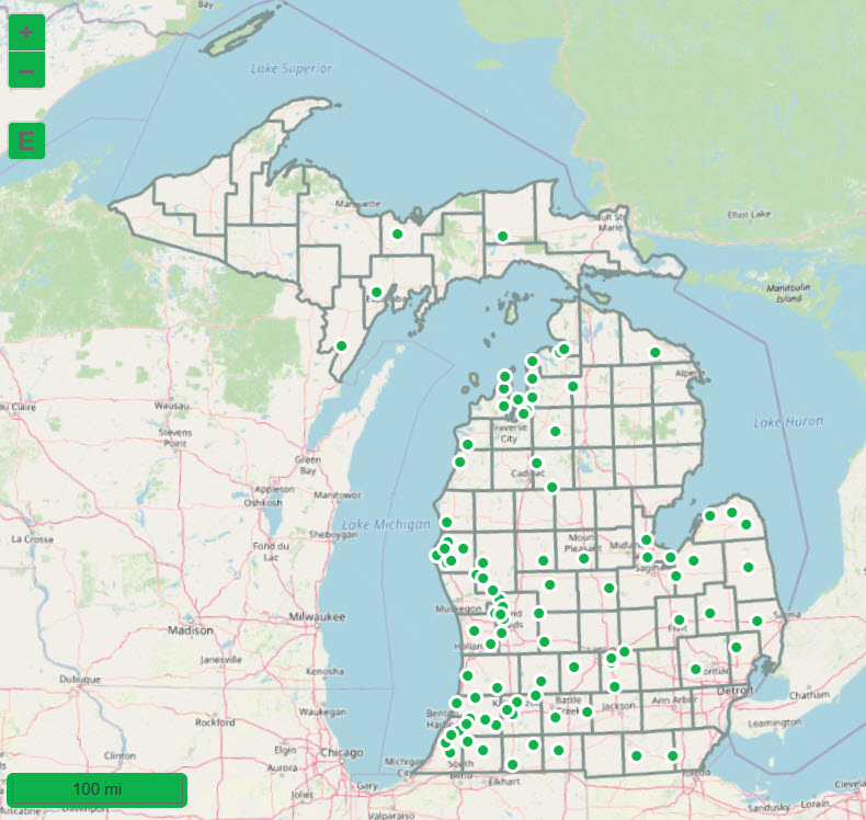
The Enviroweather program is a real-time, statewide weather system designed to develop and deliver a sustainable weather-based information system that helps users make pest, plant production, and natural resource management decisions in Michigan.
ESPP
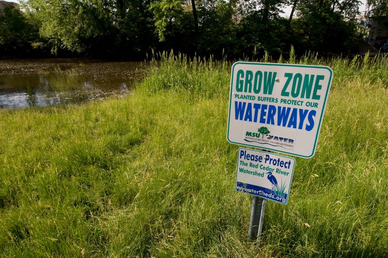
The Environmental Science and Policy Program is an umbrella for environmental research and graduate education at MSU, working together with colleges and departments in a collaborative manner to solve environmental problems.
onGEO
The onGEO GIS and Geospatial Data Analytics & Visualization certificate options develop your geographic awareness and geospatial technology skills, while expanding your career opportunities.
Remote Sensing and GIS Research and Outreach Services (RS&GIS) is the point of contact for geospatial technology services at MSU serving the research community, state, federal, municipal, and tribal governments, not-for-profits, and the private sector.