

MSU Museum presents Connecting Worldviews: Indigenous Cartography in the Americas
Tue, November 30, 2021 3:00 PM at Michigan State University Museum
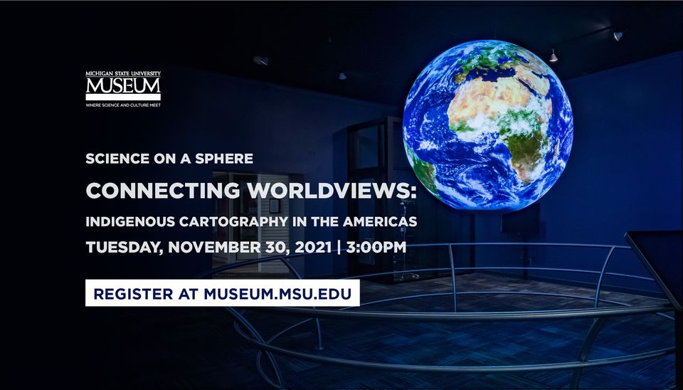
Have you ever thought about what a map is supposed to look like? For most, a specific image might come to mind. Indigenous cartography in the Americas offers us another way of looking at the world that is rooted in a different tradition. Join the MSU Museum team on November 30 as they begin to explore what early indigenous cartography looked like and how mapping has been used across the Americas.
Science On a Sphere was developed by the National Oceanic and Atmospheric Administration (NOAA), the system uses datasets from NOAA, NASA, universities, science centers, and other organizations to explain complex processes along with maps of real-time data visualized onto a globe.
Learn more and register at: https://bit.ly/SOS_maps