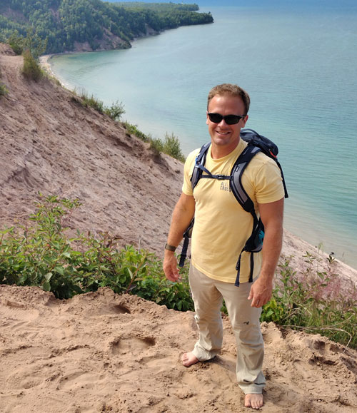
Phil Wernette

- Director, RS&GIS
- Fixed Term Assistant Professor
- RS&GIS
- Geography, Environment, and Spatial Sciences
- 1407 Harrison Rd.
- East Lansing, MI 48824
- 519-996-1233
- wernett9@msu.edu
AREA OF STUDY
Coastal Geomorphology, GIS, Remote Sensing, AI & Machine Learning, GeophysicsResearch Interests
My research interests span physical geography, geomorphology, and geology (including but not limited to coastal environments); geographic information systems (GIS) and remote sensing; ecology; geophysics; and computer science (AI/ML). I believe that research should be collaborative and multidisciplinary and strive to engage with a diverse group of stakeholders and researchers worldwide.
My four main research foci as Director of RS&GIS at Michigan State University are:
- Enhance our understanding of processes driving landscape and environmental change in complex environments and habitats.
- Improve our ability to efficiently and accurately map complex environments and habitats with emerging technologies (AUVs, ROVs, UAVs/UASs, satellite sensors, and other remotely sensed data).
- Predict coastal change (and environmental change more broadly) by integrating geography, geology, geophysics, machine learning, and other disciplines.
- Engage communities via citizen-science opportunities to better understand community-driven research needs and help apply active research to address real-world challenges.
My research lies at the nexus of many different disciplines, which can be brought together to help address real-world challenges that are often too complex for a single discipline. Since form and processes vary across multiple spatial and temporal scales, it is essential to integrate a variety of data sources. Although I am especially interested in coastal geomorphology (muddy, sandy, and cliffs/bluffs), my skills are translatable across a wide range of environments (terrestrial, buried, and underwater).
In the past, my research has utilized techniques and concepts spanning physical geography and geomorphology, geographic information science (GIS), remote sensing (including structure-from-motion (SfM), LiDAR, and hyperspectral imagery), geophysics (GPR, ERT, and seismic), and machine learning. Developing comprehensive analytical techniques that include quantifying and propagating error in geospatial and temporal analyses are always of interest, as these can help improve the quality of data used to train different models.
Another research interest of mine is geoeducation, specifically focusing on experiential learning (e.g. undergraduate research, study abroad, internships), mentoring, and general pedagogy to improve teaching and learning. I firmly believe that teaching and research are not exclusive and they should be brought together in the classroom and beyond. By bringing active research and discovery into the classroom, we can better prepare students for future careers and gain valuable fresh perspectives on current/future research projects.

