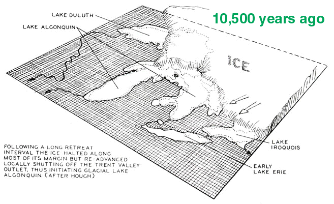
GLACIAL LAKE ALGONQUIN
Click for
full size image (600K)
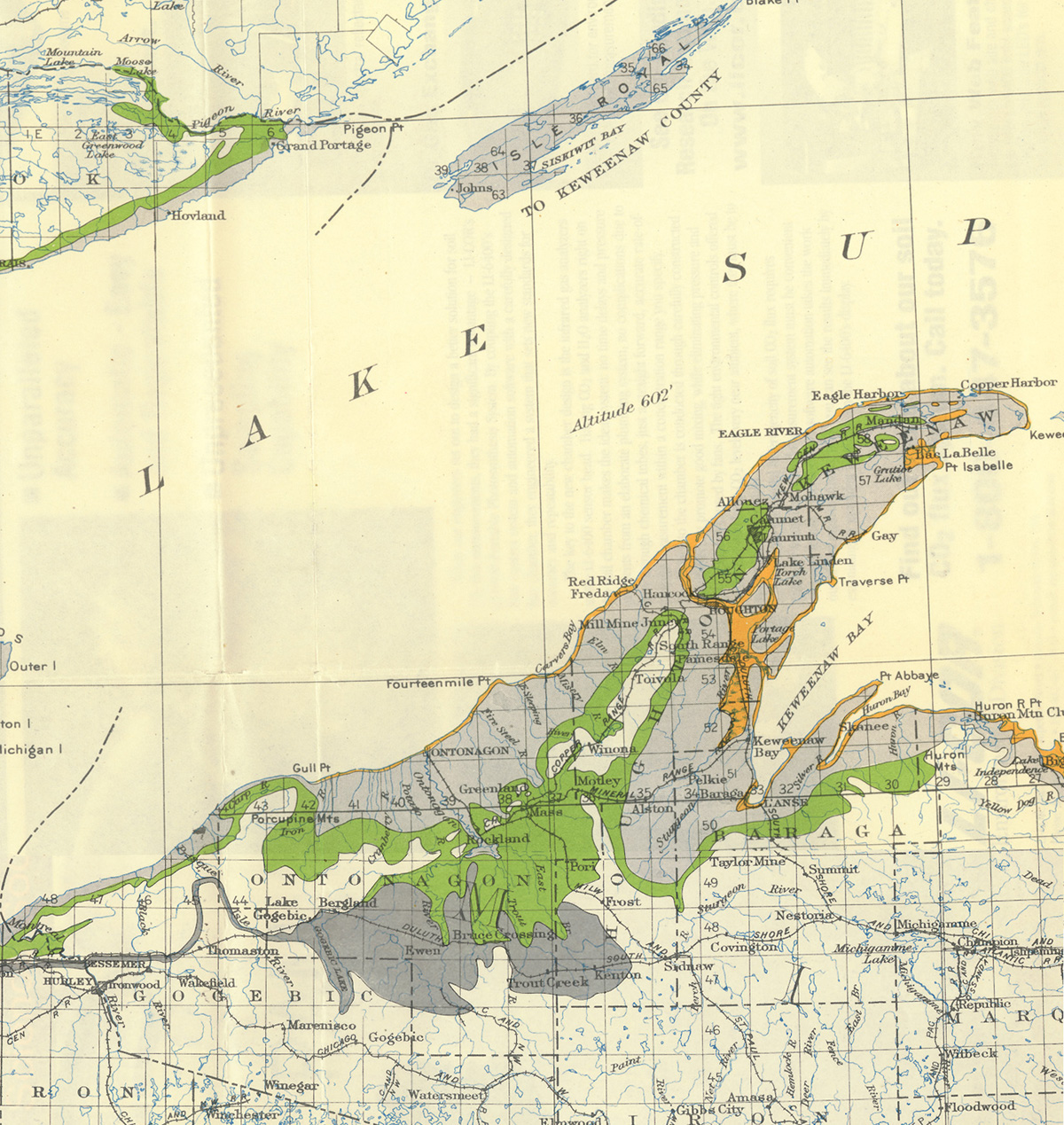
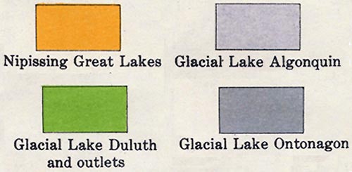 LEGEND
Click for
full size image (700K)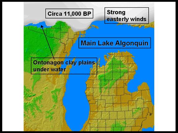
Glacial Lake Algonquin inundated most of the eastern and
southern UP, as well as parts of the northern lower peninsula. These
areas were isostatically depressed, and were lower than the outlets of the
lake---Chicago and Port Huron. 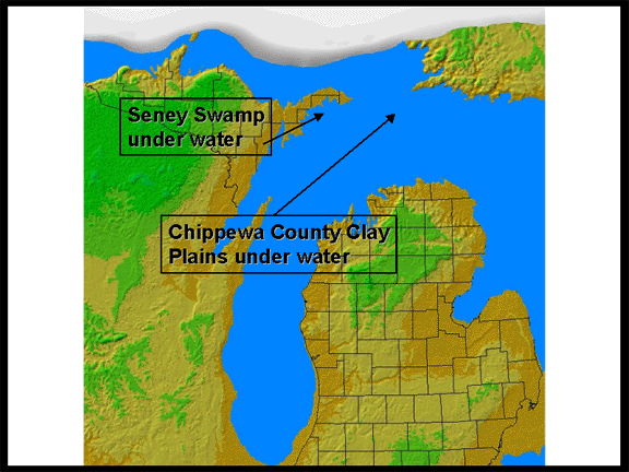
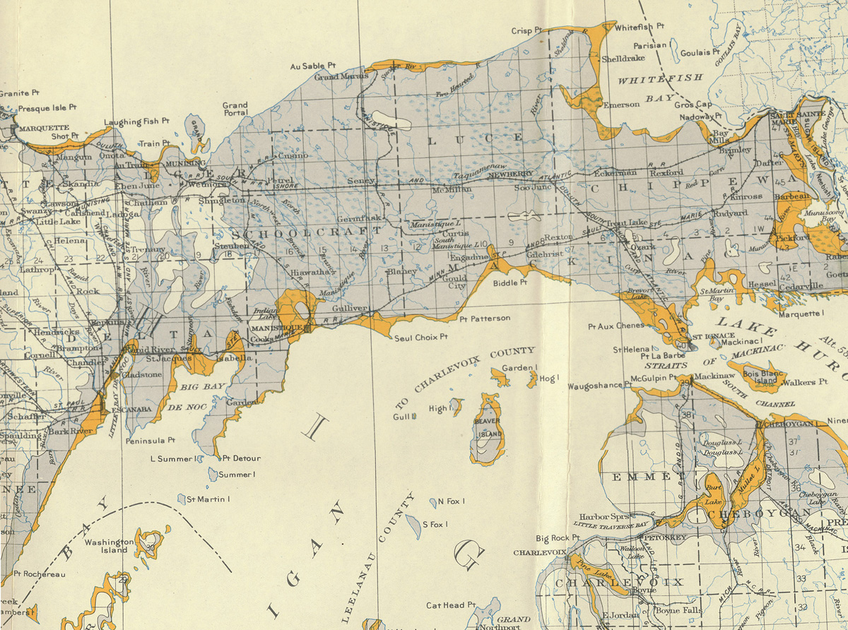
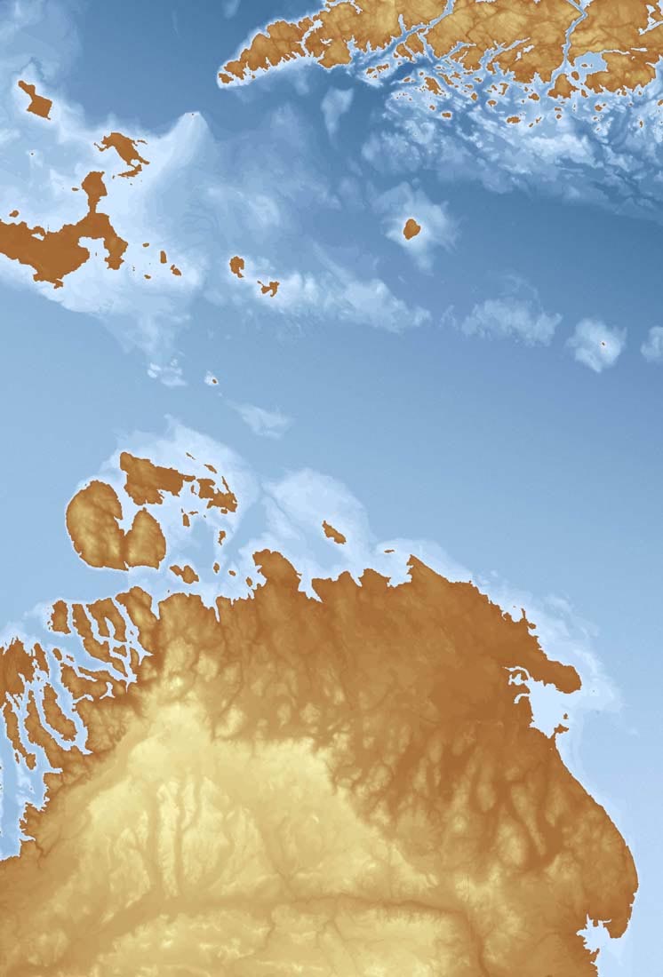
Below is a detailed map showing what Lake Algonquin and the surrounding
landscapes probably looked like, some 10,800 years ago. (Thanks for
Scott Drzyzga, a Geography graduate student, for the map!)
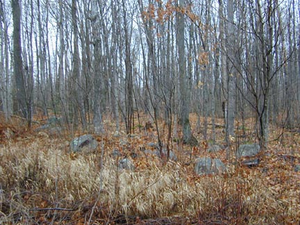
The two images below show wave-cut shorelines, or beach
ridges, or Glacial Lake Algonquin, in the UP. Note the boulders left
behind by the crashing waves.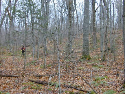
This material has been compiled for educational use only, and may not be reproduced without permission. One copy may be printed for personal use. Please contact Randall Schaetzl (soils@msu.edu) for more information or permissions.